
Some heritage - and some lost - buildings of the Town of East Fremantle.
It might be helpful if I try to indicate the positions of the first half dozen buildings in relation to each other, as they were in a row along Canning Road (Highway)— starting at the east, at Silas Street, and proceeding two blocks west to King Street.
On the corner of Silas Street was, from 1934, the Richmond Theatre (cinema). In 1961 it became a shopping centre (Charlie Carter's, mainly), and was demolished in 1979. The Richmond Quarter buildings now occupy the whole block from Silas Street to Council Place - which is more or less where Duke Street used to be.
Next to the Richmond Theatre, from 1907 or 1908, in the middle of the block, was Dr A.T. White's house, which was later acquired by the Catholic Church for a presbytery for its clergy, the church being across the road.
Next to that again was St Peter's Church (1903-1970), on the corner of Duke Street.
On the other corner of Duke Street was and is the East Fremantle Town Hall. Next to that was the Fire Station - a shed about the size of a one-car garage. Then the Police Station, in a house which is still extant, followed by the Plympton (East Fremantle) Post and Telegraph Office, also still extant, and now restored by a real estate agent called Yard.
Then came King Street which was removed in favour of the northern extension of the Stirling Highway from the Stirling Bridge.
The Plympton/East Fremantle Presbyterian Church used to be on the opposite corner of King Street from the PO, together with its hall and manse.
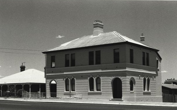
 Town Hall, 1902
 Fire Station, c. early 1900s? (lost)
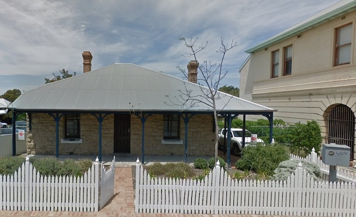 Police Station, 1909
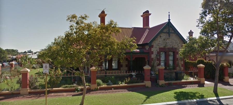
 Post Office, 1901
 Presbyterian Church (lost), 1898-1973
 St Peter's Anglican Church (lost), 1903-c. 1970
 Plympton Methodist Church, Glyde Street, before 1908
 Woodside Baptist Church, 1921
 Richmond Cinema (lost), 1934-1979
 Mayfair Cinema, Petra Street, 1936
 Brush Factory, Duke Street, 1901 (mostly lost)
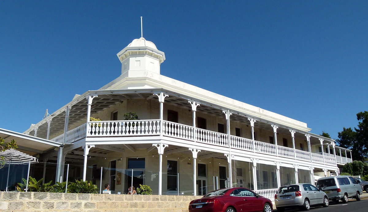
 Royal George Hotel, 1903
 Plympton Hotel, 1898
 Captain Fremantle Motor Lodge, East Street & Riverside Road, 1970-1984 (lost)
 Phoenix Brewery (lost)
 Carrolls' house (Left Bank bar and cafe)
 Laceys A1 Cash Store, 44 Hubble Street
 Pearse's Hall (not lost?) Sewell Street, cnr Canning Highway
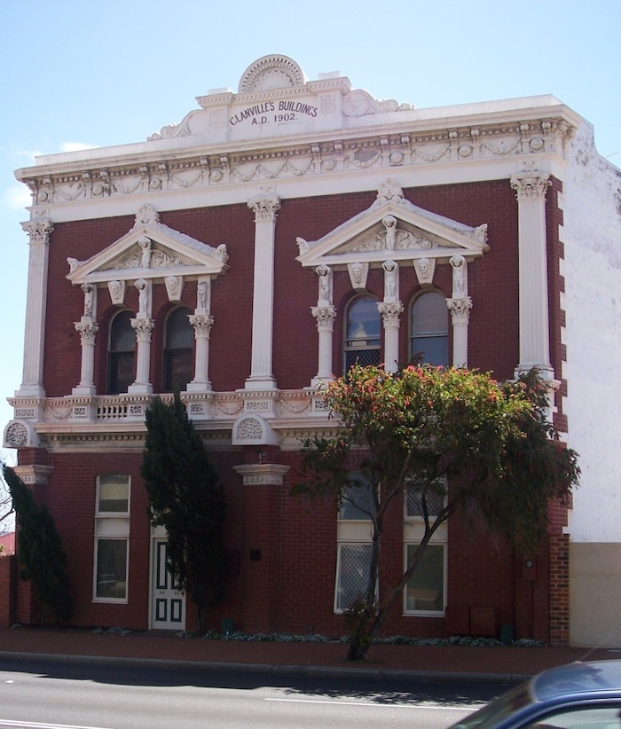 Glanville building, 34-36 Canning Highway
 Owen's corner, 55 Canning Highway
 Woodlawn, 20 Osborne Road
 Woodside Hospital, 18 Dalgety Street
 Richmond Raceway (lost)
 Locke Park (with rotunda)
 Richmond (Bridge) Hotel (lost; not in East Fremantle, despite the name)
 George Pearse's house, 37 Hamilton Street
 William Angwin's house, 3 Glyde Street
 Dr A.T. White's house/presbytery, Canning Road
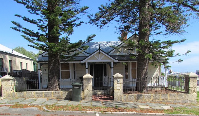
Braemar House, 10 Windsor Road
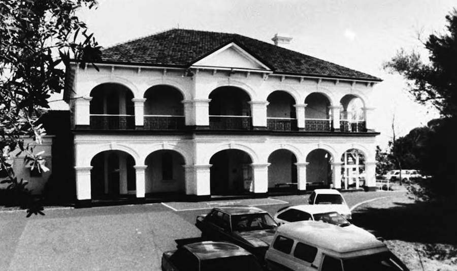
Kaleeya Hospital, Staton Road
St Helens Hospital, 33 Moss Street
Richmond Primary School, 37 Windsor Road
East Fremantle Primary School (Plympton School) - not in East Fremantle
Buildings on the 'official' heritage tour but not on my list above: Dovenby house, 38 Sewell Street, George Street Mews [a terrace, not a mews].
Charlesworth, Helene 1997, Small but Strong: a Pictorial History of the Town of East Fremantle 1897-1997, Town of East Fremantle.
Ewers, John K. 1971, The Western Gateway: A History of Fremantle, Fremantle City Council, with UWAP, rev. ed. [1st ed. 1948].
Hitchcock, JK 1929, The History of Fremantle, The Front Gate of Australia 1829-1929, Fremantle City Council.
Lee, Jack 1979, This is East Fremantle (The story of a town and its people), East Fremantle Town Council.
East Fremantle Heritage pages.
Heritage Trail.
Museum of Perth's Streets of East Freo website.
Garry Gillard | New: 31 October, 2014 | Now: 21 April, 2024
 Castlemaine Brewery (lost)
 Kitson Park
 East Fremantle Oval